


Routt 17, Routt County, Colorado
About
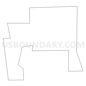
Outline
Summary
| Unique Area Identifier | 549238 |
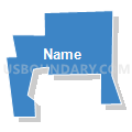
| Name | Routt 17 |
| County | Routt County |
| State | Colorado |
| Area (square miles) | 0.45 |
| Land Area (square miles) | 0.45 |
| Water Area (square miles) | 0.00 |
| % of Land Area | 100.00 |
| % of Water Area | 0.00 |
| Latitude of the Internal Point | 40.44586300 |
| Longtitude of the Internal Point | -106.81616270 |
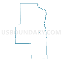
Maps

Graphs
Select a template below for downloading or customizing gragh for Routt 17, Routt County, Colorado


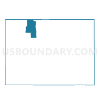
Neighbors
Neighoring Voting District (by Name) Neighboring Voting District on the Map
- Routt 16, Routt County, CO
- Routt 18, Routt County, CO
- Routt 6, Routt County, CO
- Routt 7, Routt County, CO